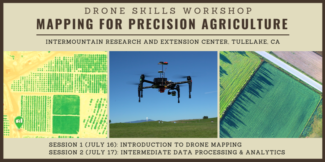
Greg Crutsinger is excited to announce two 1-day workshops on agricultural mapping with drones, July 16th & 17th at the Intermountain Research and Extension Center (IREC) in Tulelake, California.
Workshops will consist of two sessions (beginner and intermediate) for agricultural mapping. You can attend either or both, depending on your needs. The target audience includes growers, agronomists, crop consultants, students/researchers, and drone service providers who are interested in the data side of agriculture. These workshops will walk you through from start to finish of building your drone program for the growing season.
Session 1: Intro to UAV Mapping
- Drone hardware & sensors
- Manual take off & landing
- Mission planning for mapping with mobile apps
- Best practices for data capture
- Introduction to drone data processing
Session 2: Intermediate Drone Data Analytics For Plants
- Multispectral cameras for UAVs
- Best practices for mapping crops
- Calculating vegetation indices
- Data processing with Pix4D and other software options
- Additional complimentary data tools for aerial crop scouting
This is the inaugural Scholar Farms workshop for drones in precision agriculture. It is built on extensive experience in the plant sciences, as well as the commercial drone industry. Don't miss out!
Sincerely,
Greg
--
Gregory Crutsinger (PhD)
El Cerrito, CA
Office: 510.344.5589
Cell: 360.927.2063
Attached Images:
