Fire in Sonoma County
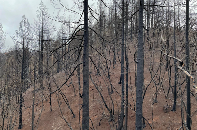
Today's forests are less healthy and more prone to severe wildfires due to decades of fire suppression, lack of vegetation management, changing land use patterns, and extreme events such as drought. With vegetation build-up, compounded with dry landscapes and warmer temperatures, fire behavior has started to change resulting in more and larger high severity wildfires. Additionally, over 50% of the population in Sonoma County lives in the Wildlife Urban Interface, or WUI, meaning that the majority of our communities are dispersed amongst natural and forested areas and thus are at high risk for wildfire.
A Coordinated Approach to Managing Fuels
Successful management requires collaboration between public and private stakeholders to mitigate fire risk across the landscape. Thus far, Sonoma County has focused on defensible space and home hardening; critical practices; however, there are few tools to assist private landowners and managers in evaluating and deciphering fire hazards on a large landscape scale. Fuel management can appear complicated, is often expensive to implement, and planning an approach for reducing fuels requires detailed information about the landscape. With thousands of individual land parcels in Sonoma County, landowners need tools and resources to support them in reducing fuels and managing for future wildfires.
The Wildfire Fuel Mapper Toolkit
As wildfires increase in frequency and intensity, Sonoma County residents need to take steps to reduce fire risk across the region's diverse landscapes and communities to protect our people, our homes, and our natural resources. In order to do so, however, Sonoma County residents also need to be equipped with the necessary tools, resources, and information.
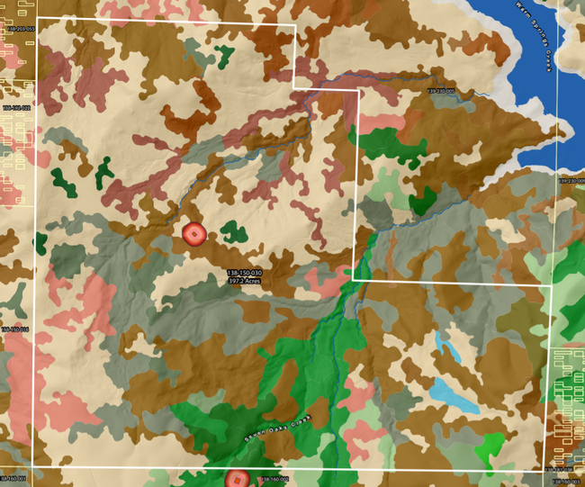
- Fire history
- Vegetation type and density
- Fuels such as fuel build-up
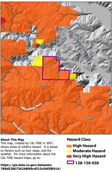
- CAL FIRE assessments of fire hazard level
- Slope and aspect
- Detailed aerial imagery
- Zoning and responsibility area designations
These maps can be used to achieve a number of different land management goals. They can help property owners assess fire hazards on their land and delineate management units. They can be used to create a vegetation management plan to improve forage quality and quantity available for livestock or wildlife. The map reports can be shared with professionals and specialists to get an overview of the property and understand the fire history of the parcel. They can even be used to highlight hazard severity and the need for treatment when applying to funding to supplement a fuel management plan.
In addition to providing detailed information about fuels and fire hazards on a landscape, the Wildfire Fuel Mapper provides several other resources. These resources are designed to help landowners understand how to use their map reports and start taking action, whether it be conducting a prescribed burn, implementing grazing, or creating a formal management plan. These tools and resources connect users with:
- Funding and cost-share opportunities
- Educational and technical resources to learn more
- Materials to support creating a management plan, individual parcels or in a watershed
Wildfire Fuel Mapper Lake Sonoma Pilot Projects
The UCCE is currently testing the Wildfire Fuel Mapper in the Lake Sonoma watershed. We are conducting site visits with users to ground-truth the map reports and collecting feedback from both landowners and specialists throughout the region. Additionally, the UCCE is partnering with Circuit Rider to plan and implement 3-6 pilot projects using the Wildfire Fuel Mapper map reports. These pilot projects will be conducted by the Circuit Rider youth crews, and will demonstrate a variety of vegetation management strategies while promoting workforce development and professional skills for local youth.
Learn More & Get Started
As fires continue across Sonoma County, fuel management will be critical to protecting our communities now and in the future. The Wildfire Fuel Mapper provides landowners with the tools and resources needed to understand and begin managing fuels.
To learn more about the Wildfire Fuel Mapper, download your custom parcel or watershed report, and explore our interactive Story Map, visit: Wildfire Fuel Mapper. For further questions or to get involved, contact Dr. Stephanie Larson (slarson@ucanr.edu).
This project is a collaboration between University of California Cooperative Extension (UCCE), Pepperwood and Tukman Geospatial, with support from PG&E, the Thornton Foundation, and CAL FIRE.
Attached Images:
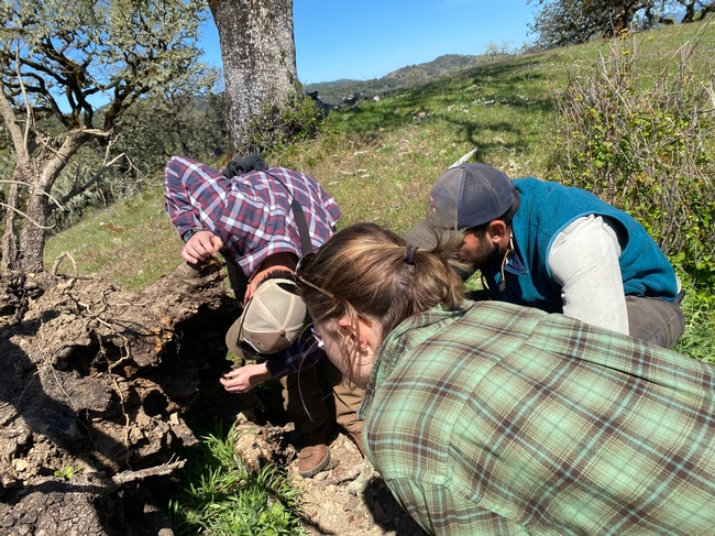
UCCE Staff conduct site visit and discuss forest health and vegetation management with landowner. Photo credit UCCE Sonoma
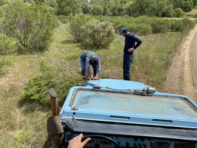
UCCE Staff, Circuit Riders, and Lake Sonoma landowner test fuel reduction strategies and plan management based on the Wildfire Fuel Mapper
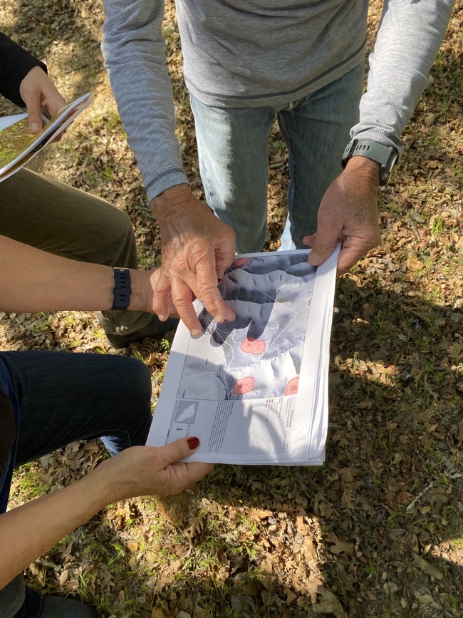
UCCE Staff and landowner review Wildfire Fuel Mapper Map Report. Photo Credit UCCE Sonoma
