
Prioritizing Vegetation Management Practices on Private Working Landscapes to Reduce Catastrophic Fire
Dr. Stephanie Larson, University of California Agriculture and Natural Resources, County Director/Livestock & Range Management Advisor, UC Cooperative Extension, 133 Aviation Boulevard, Suite 109, Santa Rosa, CA 95403. Phone: 707-565-2621. Email: slarson@ucanr.edu
Dr. Van Butsic, University of California, Berkeley, Assistant Specialist, Land Use Science, Mulford Hall, Room #231. Berkeley, CA 94720. Berkeley, CA 94720. Phone: 510-666-5400. Email: vanbutsic@berkeley.edu.
Dr. Max Moritz, University of California, Agriculture and Natural Resources, Wildlife Specialist, Bren School of Environmental Science & Management, 2400 Bren Hall, Santa Barbara, CA 93106. Phone: 805-893-8747. Email: mmoritz@ucanr.edu.
ABSTRACT:
As California policy makers continue to address the impacts of catastrophic wildfires, input from private landowners, who own the majority of California’s working landscapes, is often overlooked. Collaborative management of working landscapes can be key to reducing catastrophic fires while also maintaining viable of these lands continue to provide ecosystem services from forest and rangelands.
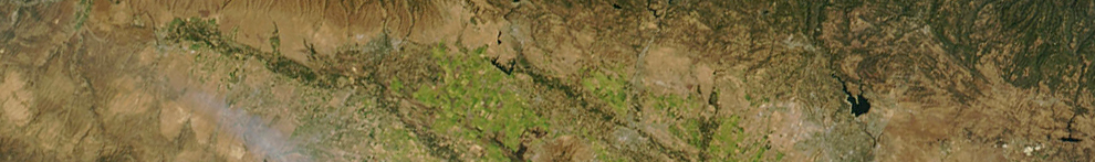
Our project brought together private landowners to evaluate the implementation of management tools on the rangelands that surround Lake Sonoma. Located in northern California, Lake Sonoma is the primary drinking water source for more than 600,000 residents of Sonoma and northern Marin Counties, California. Lake Sonoma watershed includes approximately 230 parcels and 33,500 hectares.
The land is mostly privately owned and has not experienced a significant fire in many years. We engaged landowners through a dialogue-based approach, increasing landowner awareness of landscape attributes, especially those related to fire risks. Individual parcel’s biophysical attributes and vegetation were analyzed using a variety of existing fire hazard maps, providing different results of fire behavior based on slope, fuels, wind speed and direction, temperature, and humidity.
At educational meetings, landowners were provided reports, showing maps and tables that quantified vegetation types and hazard class, along with which management practice(s) were most appropriate for that type. A checklist assessed management practice costs, for grazing, prescribed fire, and shaded fuel breaks, assisting landowners in prioritizing practice implementation and maximizing returns on rangeland management investments.
Better informed landowners have a greater chance of adopting management practices, subsequently improving rangeland resiliency and reducing fire intensity. The project methodology will be scaled from individual property owners to larger landscapes and community-owned rangelands. Scaling efforts will increase awareness on how to manage rangelands and implement appropriate practices to mitigate catastrophic fires.
Key Words: Catastrophic fires, fire behavior models
INTRO 
- Landowners/managers don’t know options available to manage vegetation or the costs associated
- Management at landscape level begins with private landowners
METHODS
Quantitative Tools
- Topography & Veg maps
- Wildland Fire Hazard maps
Qualitative Tools
- Forest and Range Health
- Fire Fuel Potential
- Ecosystem Services
MANAGEMENT TOOLS
- Chemical
- Manual/Mechanical
- Biological (Grazing)
- Prescribed Burning
NEXT STEPS
- Engage landowners to inventory & assess their lands through fire fuel lens
- Increase implementation of management practices
- Engage the Community & Policy Makers
- Incentivize fire policies and/or management practices at a local scale.
About the high-resolution (5-meter) fuel model


Fuel models are required inputs for fire behavior modeling (e.g., FlamMap and Farsite) and are critical for prioritizing fuel treatments
5-meter countywide, 40 class Scott and Burgan Fuels
Model Inputs
- Fine scale vegetation map
- Countywide ladder fuels
- Elevation, slope, aspect
- Canopy height
- Canopy base height
- Canopy bulk density
Decision Support Tools: Forest & Range Management Toolkit

The creation of the fuel model data layer by developing a crosswalk from the input layers of Enhanced Lifeform, Ladder Fuels, Canopy Density and Slope/Aspect.


Resources
Powerpoint: Prioritizing Vegetation Management Practices on Private Landscapes to Reduce Catastrophic Fire, Stephanie Larson, PhD, 2019
Scott, J.H., and R.E. Burgan. 2005. Standard Fire Behavior Fuel Models: A Comprehensive Set for Use with Rothermel's Surface Fire Spread Model. General Technical Report RMRS-GTR-153. Fort Collins, Colorado: U.S. Forest Service, Rocky Mountain Research Station. June.